Total Area Scanned
12.5 km2
Objects Detected
248
Marine Debris
176
Potential Anomalies
14
Scan Sessions
6
Side-Scan Sonar View
LiveZoom: 1.0x
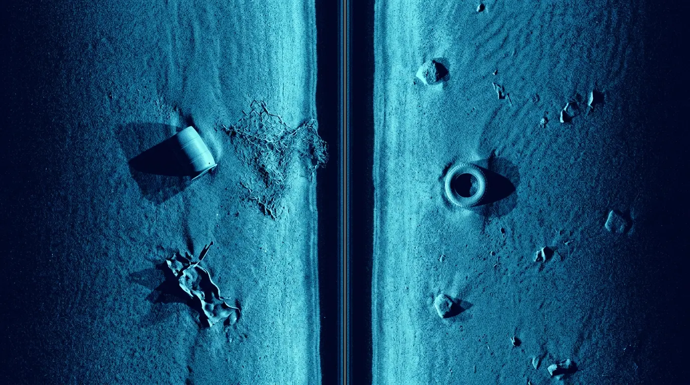
255075100
255075100
- Latitude:
- 12.9142° N
- Longitude:
- 74.7981° E
- Depth:
- 35 m
- Speed:
- 4.2 knots
Detection Details
View AllGeographical Map
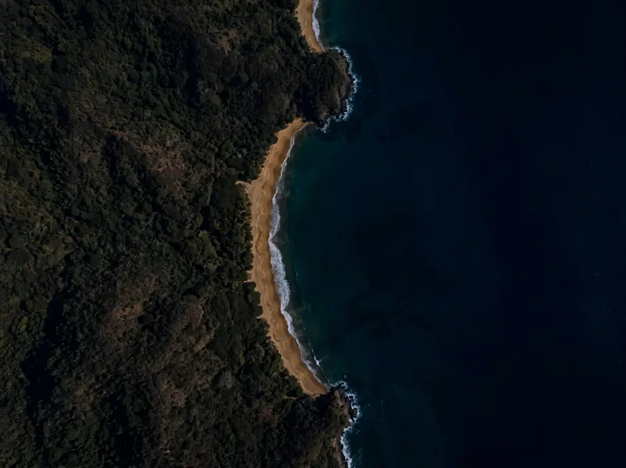
500 m
Object Classification
248
Objects