About SeaScan AI
Cleaner oceans start with seeing what’s down there.
SeaScan AI turns raw side-scan sonar into a searchable map of marine debris and seabed anomalies — helping research teams find ghost nets, drums and tyres faster, and send recovery crews exactly where they are needed.
Open Live SonarScan
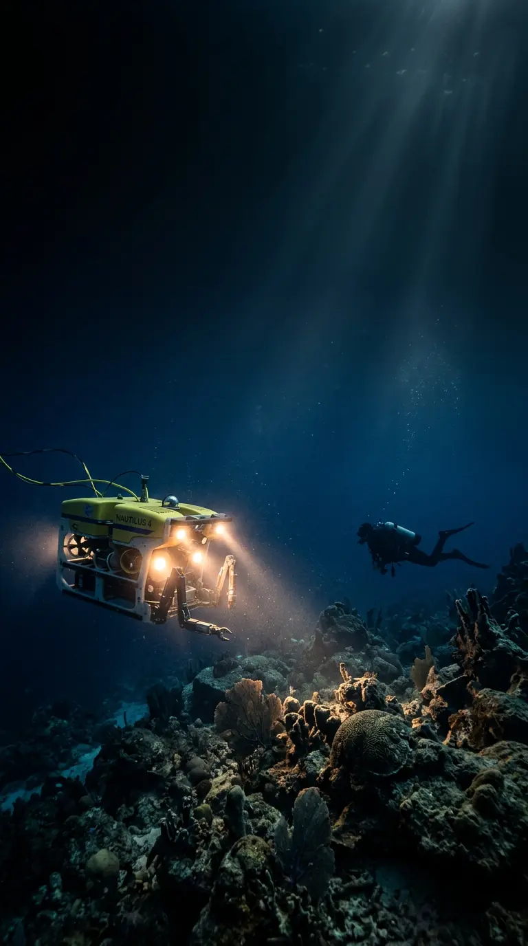
An ROV or uncrewed surface vessel tows a side-scan sonar, painting an acoustic image of the seabed on both port and starboard channels.
Detect
A sonar-tuned deep-learning detector finds plastic, metal, tyres and ghost fishing gear in every frame and flags unusual returns as anomalies.
Locate
Every detection is geo-referenced with depth and size estimates, so it can be plotted on the survey map and revisited.
Recover
Verified targets are exported as reports for divers, clean-up crews and environmental agencies.
Frequently Asked Questions
What is the difference between debris and an anomaly?+
Debris is a confidently classified man-made object. An anomaly is an unusual sonar return the model cannot classify with confidence — it is worth a closer look by a diver or camera ROV.
How accurate is the model?+
The current SeaScan Detector v2.3 reaches 0.91 mAP@50 on our held-out coastal benchmark. You can switch models and tune thresholds in Model Settings.
Which sonar formats are supported?+
XTF, JSF and SEG-Y recordings, plus PNG waterfall exports. Upload them in Dataset Management.
How do I verify a detection?+
Open Detection Results, select a row and mark it as Verified or False positive. Your feedback is used to improve future model versions.