Map View
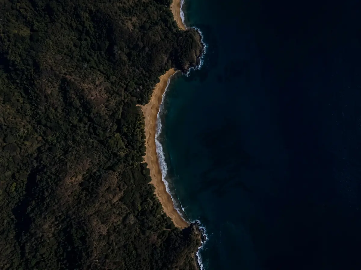
Survey coverage off the Mangalore coast — 12.5 km² scanned across 6 sessions.
500 m
- Scan Path
- Detected Debris
- Anomaly
- ROV/USV Position
Using Side-Scan Sonar Imagery
Survey coverage off the Mangalore coast — 12.5 km² scanned across 6 sessions.